

Description
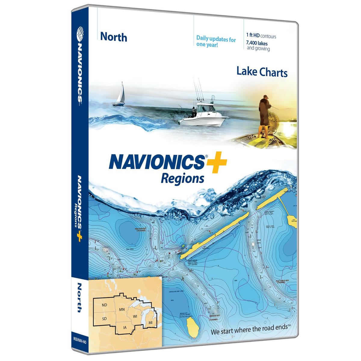
Navionics+ is a powerful electronic chart solution providing more regional marine and lakes content than any other product on the market! Get detailed Nautical Chart, SonarChart 1′ HD bathymetry map, and Community Edits plus daily updates for one year! Includes more than 7,500 lakes and growing in IA, MI, MN, ND, SD, and WI, plus all of Lake of the Woods, Rainy Lake and US waters of the region’s Great Lakes. Nautical Chart and SonarChart are preloaded. Simply plug your card into your PC/Mac to download the most updated charts and Community Edits anywhere within the entire region. 16 GB card and USB reader included.
Features:
– Lake charts
– 7,500 lakes and growing in IA, MI, MN, ND, SD, and WI, plus all of Lake of the Woods, Rainy Lake and US waters of the regions Great Lakes.
– Plug and play: Preloaded card with both Nautical Chart and SonarChart
– View detailed shorelines with marinas, docks and boat ramp locations.
– Increase your awareness of shallow waters and hazardous areas at any depth level including shoals, rocks, wrecks and more.
– Target underwater structure with up to 1 ft HD contours to find the best fishing locations: roadbeds, foundations, bridges, brush piles, culverts and creek channels.
– Consult tides and currents to plan your boating activities.
– Download Community Edits, valuable local information added by millions of Navionics Boating app users.
– Get the most current charts every day with daily updates for one year.

Reviews
There are no reviews yet.